Detect
How can we detect and quantify the presence and intensity of spatial filter bubbles in mobility trajectories? We will develop methods to detect and measure the intensity of spatial filter bubbles.
Balanced Urban Recommenders for Sustainable Mobility Transitions
Google Maps, Uber and TripAdvisor quietly decide where millions of people go and how they get there. BURST asks what those algorithms do to a city and designs recommenders that keep people moving without concentrating everyone in the same streets.
Urban Recommenders (URs) are the AI systems embedded in navigation, ride-hailing and review platforms and are designed for individual convenience. Because they steer everyone toward the same narrow set of popular places and routes, they concentrate activity, amplify popularity bias and reinforce a monocentric urban structure.
Research on URs has focused on aggregate effects, such total congestion, emissions, and venue popularity. The individual-level formation of spatial filter bubbles, and their role in reinforcing spatial inequality, has not been systematically explored. Routing and destination recommendation are usually studied apart; BURST treats them as one system.
Today’s notion of “individual convenience” is also narrow: the fastest or shortest path, ignoring safety, pleasantness and broader urban wellbeing.
Cities are already reacting. For example,Barcelona removed a bus route from tourist apps to reduce overcrowding and protect local access. It is now urgent to understand how recommenders shape mobility and exposure, and how to mitigate it.
Each research question maps onto a specific objective and a project phase.
How can we detect and quantify the presence and intensity of spatial filter bubbles in mobility trajectories? We will develop methods to detect and measure the intensity of spatial filter bubbles.
What are the long-term effects on congestion, socio-spatial segregation, environmental sustainability and the travel experience itself, including safety and perceived convenience? We will measure the impact of spatial filter bubbles in different settings.
Can we design recommenders that mitigate filter-bubble effects while aligning individual preferences with accessibility, equity and sustainability? This project will deliver a new class of Balanced Urban Recommenders (BURs).
A modular, simulation-based methodology. High-resolution mobility data and open road and traffic datasets coupled with traffic microsimulations, UR simulations replicating commercial routing and destination strategies.
Existing open-source tools from both the fellow and the host group:
Five research tasks across the 24-month fellowship, September 2026 to August 2028.
Everything is released openly, following FAIR and open-science principles: code and framework on GitHub, case-study analyses and data on Zenodo with permanent identifiers, papers in open access.
Project status. BURST started in September 2026 and is in its first phase. Code, datasets and publications will appear in this repository and on Zenodo as they are released. This page is updated as the project progresses.
Papers, preprints, datasets, software releases and project updates will be listed here as BURST progresses.
The project started in September 2026 and is in its first phase. All outputs will be released openly — code on GitHub, datasets and case-study analyses on Zenodo with permanent identifiers, and papers in open access.
A postdoctoral fellowship hosted by the Knowledge Discovery and Data Mining Laboratory at ISTI-CNR in Pisa, bringing together human mobility modelling and research on human–AI coevolution in cities.
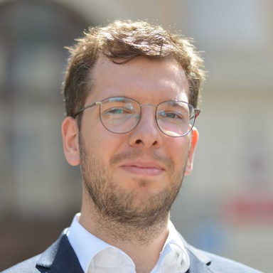
Fellow & principal investigator
Assistant Professor at the Institute of Geodesy and Geoinformatics, Wrocław University of Environmental and Life Sciences. Works on human mobility modelling, simulation and algorithmic fairness; author of the HuMobi library and former PI of an NCN Preludium grant on bias in mobility predictions.
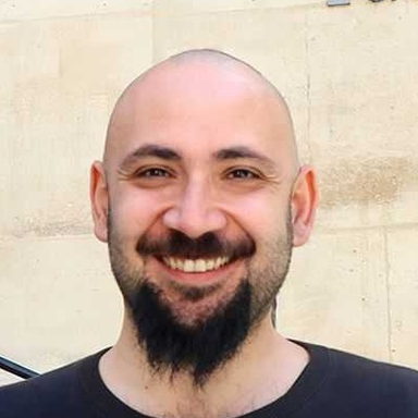
Host supervisor
Senior Researcher at ISTI-CNR and Professor of Geospatial Analytics at the University of Pisa. Works on human mobility, data-driven urban analytics and human–AI coevolution; creator of the scikit-mobility library.
Bekker NAWA Programme 2025, project BPN/BEK/2025/1/00028. September 2026 – August 2028.
Institute of Information Science and Technologies “Alessandro Faedo”, National Research Council of Italy — Knowledge Discovery and Data Mining Laboratory.
Institute of Geodesy and Geoinformatics.